North Bound

NORTH Bound
A- Subang Jaya Malaysia
B- Suratthani Thailand (Day 1)
C- Kanchanaburi Thailand (Day 2 & 3)
D- Chiang Mai Thailand (Day 4 & 5)
E- Doi Inthanon Thailand
F- Mae Hong Son Thailand (Day 6)
G- Chiang Dao Thailand (Day 7)
H- Mae Sai Thailand (Day 8)
South Bound

SOUTH Bound
A- Mae Sai Thailand (Day 8)
B- Golden Triangle (Chiang Saen)
C- Chiang Rai Thailand (Day 9)
D- Tak Thailand (Day 10)
E- Damnoen Saduak Thailand (Day 11)
F- Hua Hin Thailand (Day 12)
G- Chumphon Thailand (Day 13)
H- Penang Malaysia (Day 14 & 15)
I- Subang Jaya Malaysia (Day 16)

Day 1 (4th August 2013)
USJ-2 Subang Jaya to Suratthani.
Time 0745-1845
Distance from home- 539miles/868km

The journey begins.... Home to Suratthani Thailand

Changlun stop. Prepare Thai travel documents
(N6.42698 E100.42860)

The usual Phatthalung stop over
(N7.60387 E100.05558)

Rain! Rain! 90km to todays pit stop- Suratthani

Hang out till the rain stops. ((N08.39753 E099.38239)

Ordered Lemon tea which has this much coloring in it!

Day 1 Pit stop- Suratthani- Bun Hotel- Baht850 w breakfast (N09.10726 E099.30026)

Central Plaza- 5minute walk from Bun Hotel Surrathani

Day1- 539miles=868km
Day 2 (5th August 2013)
Suratthani to Kanchanaburi
Time 0900-1715
Distance covered today= 436miles/702km
Distance from home= 975miles/1570km

Leaving Bun Hotel Suratthani to Kanchanaburi

Refueling


Lunch


On Bridge over the River Kwai (N14.04171 E99.50416)
(Train approaching behind)

Dinner on Floating Restaurant next to River Kwai

The River Kwai Bridge Resort Baht1500 w Breakfast
(N14.04121 E99.50751)

975miles/1570km from home
Day 3 (6th August 2013)
Free & Easy day at Kanchanaburi
Distance covered: 130miles/ 209km

View from our chalet bungalow (River Kwai Bridge Resort @ Kanchanaburi) N14.04121 E99.50751

Breakfast

Kanchanaburi Railway station


Daring the train to pass!


Giant Road Markers that can be found throughout Thailand

HellFire Pass Memorial(N14.35239 E98.95502). Site where more than 100000 POWs died constructing the railway


Lunch

JEATH- Japan, England, Australia, Thailand & Holland: Those directly involved in the construction of the Bangkok-Burma death railway.(N14.01635 E99.53072)

Forgive But Not Forget


Back to River Kwai Bridge Resort for a second nite

Distance travelled so far 1104miles / 1778km
Day 4 (7th August 2013)
Kanchanaburi to Chiang Mai
Time 0800 - 1800
Distance covered today= 448miles/ 721km
Total distance= 1553miles/ 2500km

Ride begins from Kanchanaburi @0800hours


Open air breakfast along R&R


Thicks clouds hovering above on most parts in the morning

Finally starts raining arnd 200kms frm todays pit stop (Chiang Mai)


Thailand also BOLEH!

Chiang Mai

Chiang Mai night bazaar

Tuk-tuk

Amora Tapae Hotel @1500Baht (N18.78971 E98.99368)

Total distance 1553miles = 2500km
Day 5 (8th August 2013)
Free & Easy @ Chiang Mai
Gave my 'Iron Horse' a deserved rest as we took a City Tour being chauffeured around.

Amora Tapae Hotel Chiang Mai (N18.78971 E98.99368)

View from our room

Paper Umbrella making factory


Hand painting on Ilene's backpack


Teak wood carving factory

Silk weaving factory


Wat Umong (N18.78263 E098.95257)


Wat Molee (N18.79644 E098.98286)

Our chauffeur

Tuk-tuk

Dinner

Back to hotel for 2nd night
Day 6 (9th August 2013)
Chiang Mai- Maeya Waterfall- Doi Inthanon- Khun Yuam- Mae Hong Son
Time 0815 - 1800
Distance covered today- 210miles/ 338km
Total distance= 1763miles / 2838km
Weather= Rain/Drizzle 80% of journey

View From hotel room- Drizzle whole morning in Chiang Mai

Tire-roll from Chiang Mai @0815


Maeya Waterfall (N18.43922 E98.60006)


Maeya Waterfall (N18.43922 E98.60006)


Ticket counter on way up Doi Inthanon,
Thailands highest mountain

Doi Inthanon- Highest point in Thailand (N18.53642 E98.52136)
2565meters above sea level


Wet & Cold - 10º C


Twin Pagodas (Phra Mahathat Napha- N18 33.153 E98 28.812)
@ 4Km to/from Doi Inthanon Summit


Lunch stop between Chang Khoeng & Khun Yuam
(N18.67058 E098.37828)

Road conditions were mostly tough with lots of potholes, waterlog roads, landslides, loose gravel & unimaginable number of twisties up/down hills&mountains.


Visited&Donated some THB to A Hill Tribe Childrens home which was located next to the lunch stop area


Scenic winding routes with countless potholes to avoid


Finally reached Ngamta Hotel @ Mae Hong Son @1000Baht (N19.29976 E97.96582)


Dinner

A ride up a temple located on a hill: Wat Phrathat Doi Kong Mu (N19.30041 E97.95851)


Iron horse covered with extremely thick road grime


Distance traveled 1763miles/ 2838km
Day 7 (10th August 2013)
Mae Hong Son- Pai- Mae Taeng- Chiang Dao
Time 1205 - 2010
Distance covered today 167miles / 269km
Total distance= 1930miles / 3107km

Breakfast @ Ngamta Hotel Mae Hong Son

Post office right across our hotel

Wat Chong Klang (N19.29840 E97.96744)

Rattan weaved Buddha @Wat Chong Klang
(N19.29840 E97.96744)

Lake right behind our hotel

1864 Corners Certificate (N19.29751º E097.96494º)


Tire-roll from Mae Hong Son @1205

View of MHS from Hill Temple:- Wat Phrathat Doi Kong Mu (N19.30041 E97.95851)

Wat Phrathat Doi Kong Mu (N19.30041 E97.95851)

Parking@ Wat Phrathat Doi Kong Mu (N19.30041 E97.95851)

Roadside 'Kenny Rogers Roasters' for lunch @Pai
(N19.35547 E98.43748)


Stop for KopiBreak along roadside R&R

Familiar scenes all across Thailand roads - Sleepy dogs


Arrived Rimdoi Resort @ ChiangDao Baht700 w breakfast (N19.43735 E98.96832)


Our room

Waiting for dinner to be served @ Rimdoi Resort Chiang Dao (N19.43735 E98.96832)

1930miles / 3107km
Day 8 (11th August 2013)
Chiang Dao- Fang- Mae Sai- Walkover to Myanmar
Time 0945 - 1350
Distance covered today= 128miles / 206km
Total distance= 2058miles / 3313km

Breakfast @ Rimdoi Resort Chiang Dao

Our hotel- Rimdoi Resort @ Chiang Dao (N19.43735 E98.96832)

Tyre-roll from Chiang Dao @0945

Jalan-jalan Bazaar @Fang Town (N19.91777 E99.21171)


Stopped for oranges @ R&R


Arrived MaeSai- Thailands 'Most Northern Town'
bordering Myanmar

Piyaporn Pavillion Hotel Mae Sai@ 850Baht w Breakfast (N20.43974 E099.88158)
Just a stones throw away to Myanmar border

Border Checkpoint Thailand-Myanmar

Walking into Myanmar

Paid 500Baht each for a 14 Daypass entering Myanmar
(Tachileik Town)


Myanmar Tachileik Town

Myanmar tuk-tuk to Long Neck Village


Ordered a handmade Myanmar Number Plate for my bike


Back to Mae Sai after a couple of hours jalan-jalan in Myanmar

Mae Sai Town- 891Km North of Bangkok

Cute Baby Elephant


Angry Birds Lok-lok!!!!

Total distance 2058miles=3313km
Day 9 (12th August 2013)
Mae Sai- Chiang Saen(Golden Triangle)- Boat Ride to Donsao(Laos)- Chiang Rai
Time 1100 - 1640
Distance= 69miles / 111km
Total distance= 2127miles / 3425km

Breakfast @ Piyaporn Pavillion Hotel

Queens Birthday Parade @ Mae Sai Town


Chinese Temple next to our hotel

CheckedOut & ready to roll from Mae Sai Town @1100

Arrival @ Golden Triangle (Chiang Saen)


Taking a boat ride to Laos (Donsao)

Laos Immigration Booth


LAOS


Laos Banana BBQ

Yummy

Sexual Rain? Power super for man???

Back to Thailand Golden Triangle

Lunch @ Golden Triangle


Standing on Thailand soil, Green Triangle is Myanmar
& land on right is Laos


Stopped along highway for this- Miniature pineapple.... sweeet!


Nak Nakara Hotel Chiang Rai @ Baht1350 w breakfast (N19.91067 E099.83547)


Golden Clock tower of Chiang Rai

Our chef preparing us dinner


Back to our hotel @ Chiang Rai

2127miles=3425km
Day 10 (13th August 2013)
Chiang Rai- Phayao- Lampang- Tak
Time 1030 - 1745
Todays distance= 263miles / 423km
Total distance= 2390miles / 3848km

Our Hotel frontage- Nak Nakara Chiang Rai
(N19.91067 E099.83547)

Buffet breakfast


Bye-bye Chiang Rai

The breathtaking White Temple Wat Rong Khun
(N19.82449 E99.76328)

White Temple Wat Rong Khun (N19.82449 E99.76328)


A little souvenir from the White Temple


Hot! Hot! Hot riding day

Lunch @ Lampang

Another gigantic road marker


Todays pitstop Viangtak Riverside Hotel Bath900 w breakfast @Tak (N16.87202 E99.12347)

Tak town tour by tuk-tuk


Total distance= 2390miles / 3848km
Day 11 (14th August 2013)
Tak- Kamphaeng Phet Historical Site- Samut Songkhram- Amphawa- Damnoen Saduak
Time 0900 - 1700
Todays distance= 346miles / 557km
Total trip distance= 2737miles / 4406km

Ping River- Viewed from our hotel room @Tak

Breakfast @ Viangtak Riverside Hotel Tak

Goodbye Tak

Visited Unesco World Heritage site @Kamphaeng Phet
(N16.50519 E99.51883)


Unesco World Heritage site @Kamphaeng Phet
(N16.50519 E99.51883)


(N16.50519 E99.51883)


Unesco World Heritage site museum @Kamphaeng Phet (N16.50519 E99.51883)


Whole day was Cloudy

Lunch at R&R Chainat

Samut Songkhram Railway Market (N13.40753 E99.99889)

Avoiding oncoming train

It was 'this close' when the train passed me


Arrived Maikaew Damnoen Resort @ Damnoen Saduak:- Baht1700 w Breakfast (N13.52082 E099.96282)

Thats where we are heading tomorrow morning
(200m from our hotel)


Total travelled so far = 4406km
Day 12 (15th August 2013)
Damnoen Saduak- Samut Songkhram- Phetchaburi- ChaAm- Hua Hin
Time 1245 - 1815
Todays distance= 92miles / 148km
Total trip distance= 2829= 4555km

Off to Damnoen Saduak floating market


Pony @ our Maikeow Damnoen Saduak Hotel

Sayonara Damneon Saduak

Revisit Samut Songkhram again to wait for train to pass through lively market (N13.40753 E99.99889)

Here comes the train

Lunch at Railway Market Samut Songkhram


Leaving Samut Songkhram Town

Phetchaburi Cable-Car to Phra Nakhon Khiri historical site (N13.10935 E99.93447)


Phra Nakhon Khiri historical site (N13.10935 E99.93447)


View of Phetchaburi Town from hilltop

Coming down

Check-in Hua Hin Colonnade Hotel @Baht1800 w breakfast (N12.56827 E99.95705)

View of Hua Hin town from our room

Hua Hin Colonnade Hotel (N12.56827 E99.95705)


Foot massage


The mall in front of our hotel

Total distance 4555km
Day 13 (16th August 2013)
Hua Hin- Hua Hin Hills Vineyard- Huay MongkhonTemple- Chumphon
Time 1120 - 1750
Todays distance 346km
Total trip distance 4902km

Good Morning Hua Hin!
This colourful parade greeted us as we walked out from our hotel


Set Breakfast @ Hua Hin (Tom-Toms)


Hua Hin Railway Station


Our Hotel- Hua Hin Colonnade (N12.56827 E99.95705)

Adios Hua Hin

Hua Hin Hills Vineyard (N12.52686 E99.71329)


Hua Hin Hills Vineyard (N12.52686 E99.71329)

Wine tasting


Lunch at Hua Hin Hills Vineyard

Huay Mongkhon Temple (N12.55233 E099.82486)
(World's largest monk statue)


Huay Mongkhon Temple (N12.55233 E099.82486)


Nana Buri Hotel Chumphon @Baht900 w Breakfast
(N10.49868 E99.17964)

Chumphon City Pillar Shrine (N10.49330 E99.17968)

Night Market by the City Pillar Shrine Chumphon


3044.6miles = 4902km
Day 14 (17th August 2013)
Chumphon- Penang
Time 1030 - 2100
Todays distance 717km
Total trip distance 5618

Hotel breakfast @ Nana Buri Chumphon


Chumphon Durians

Durians cut from tree!!!! Yucks!

A morning walk around Chumphon town


Checked-out & ready to roll from Chumphon


Lunch @ Suratthanni R&R


Sadao immigration- Heavy bumper to bumper traffic started
1-km from checkpoint


Soaked just before reaching Penang Bridge

Our favourite 'Nest' whenever we're in Penang @Myr180 w Breakfast (Super-peak) (N5.42394 E100.32058)

3489miles = 5618km
Day 15 (18th August 2013)
Free & Easy @ Penang
Hawker Food Hunting day

Breakfast- Pepper Estate 'Ipoh Curry Mee' available only on
Sat & Sun mornings (N5.45506 E100.29842)


Breakfast again- Macalister Lane 'Char koay kak' (carrot cake) (N5.41716 E100.32906)


Ghee Hiang Tambun Biscuit (N5.41774 E100.32163)


Lunch- Hainanese Chicken Chop @ Sin Kheang Aun
(N5.41821 E100.33721)

Lunch again- YeeFooMee & AngTauSng @ Swatow Lane (N5.42117 E100.32708)


Classic bikes Iineup @ our hotel frontage


New Lane Kopitiam (N5.41497 E100.32638)


Dinner- Char Koay Teow with Crab Meat (N5.41497 E100.32638)


Penang New Lane Apong


Sweet desserts @ Lorong Susu (N5.41552 E100.32446)

Tang Yuan & Lor-Bak


Schoolmates whom I bumped into during our food hunting


Supper time- Nasi Kandar Beratur @Pitt Street
(N5.41677 E100.33758)


Nasi Kandar Beratur @Pitt Street (N5.41677 E100.33758)

Supper- Yummy yum-yum


Day 16 (19th August 2013)
Penang to Subang Jaya
Time 1015 - 1350
Todays distance 426km
Total trip distance 6045km

Breakfast (N5.42362 E100.32174)


Penang Lam-Mee (Birthday mee)

Sar Hor Fun


Heading home after ckeckout from 1926 Heritage Hotel Penang

R&R Simpang Pulai


Sweetest spot in the universe - HOME

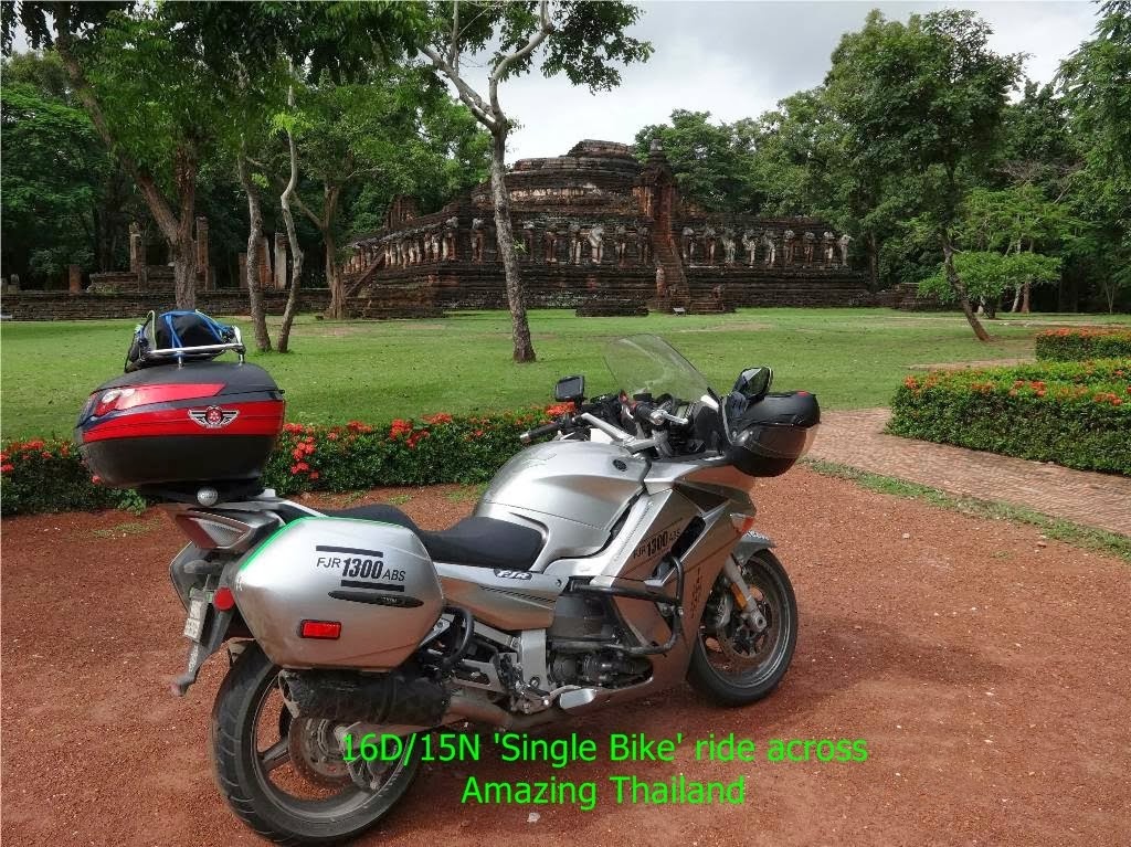
Total distance of our 16D/15N solo adventure ride to the
'Most Northern part of Thailand', Winding roads 'In & Out' of Bikers Heaven route "Mae Hong Son- 1864 Corners"
& Historical Sites in Amazing Thailand:-
6045Km
Trip Summary
Total Trip Distance:- 6045 Km (Includes detours)
Fuel:- 392 Liters(Ron 95)- Rm 1440
Accommodation:- 15 Nights- Rm 2040

North Bound
NORTH Bound
A- Subang Jaya Malaysia
B- Suratthani Thailand (Day 1)
C- Kanchanaburi Thailand (Day 2 & 3)
D- Chiang Mai Thailand (Day 4 & 5)
E- Doi Inthanon Thailand
F- Mae Hong Son Thailand (Day 6)
G- Chiang Dao Thailand (Day 7)
H- Mae Sai Thailand (Day 8)
South Bound
SOUTH Bound
A- Mae Sai Thailand (Day 8)
B- Golden Triangle (Chiang Saen)
C- Chiang Rai Thailand (Day 9)
D- Tak Thailand (Day 10)
E- Damnoen Saduak Thailand (Day 11)
F- Hua Hin Thailand (Day 12)
G- Chumphon Thailand (Day 13)
H- Penang Malaysia (Day 14 & 15)
I- Subang Jaya Malaysia (Day 16)

Fuel in Thailand are ALL colour coded!
I chose the "Orange 95-Gasohol" at all petrol stations
Average price:- Baht 40 per litre (Myr 4.18)

My Zumo GPS that never failed me even under the harshest condition
